One of the best things about travel is immersing yourself in the everyday life of a new city, and one of the main ways you feel more like a local and less like a tourist is when you can navigate the public transport system with ease. Knowing what line to catch, where to hop off and even where to stand on the station escalator is insider knowledge that sets the savvy traveller apart from the hapless tourist peering at subway maps and fumbling with foreign change at ticket machines.
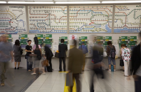
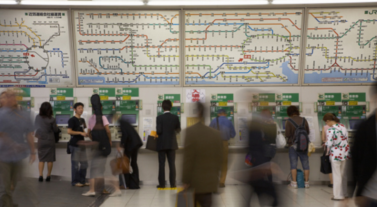
Shibuya station in Tokyo. (Image: Getty)
While some metro map designs are so functional they’re famous - replicated on t-shirts and shower curtains, others are an impenetrable spaghetti of coloured lines and numbers that would confound a left-brained coder let alone a jet-lagged visitor trying to get from A to B (i.e. me in Osaka recently). Here’s a list of the world’s most confusing subway maps – tip: take a local with you!
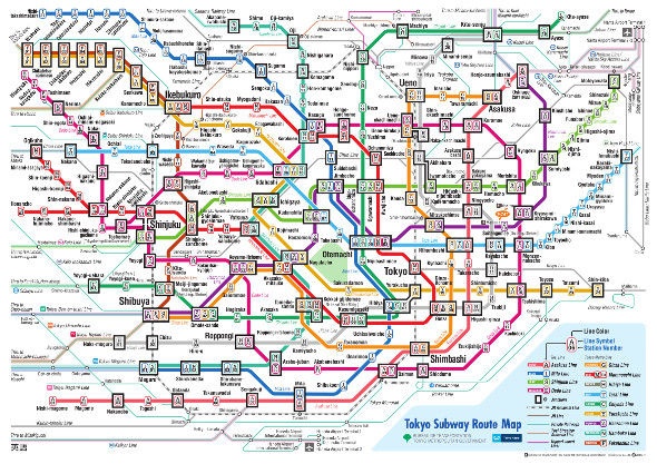
Tokyo, Japan
With one of the most complex subway systems in the world, with almost seven million daily passengers and trains every two to three minutes, distilling the nine lines of the Tokyo Metro network into a foldable map is a major accomplishment. On the metro map, each line has its own colour and letter and station numbers, which looks like an abstract artwork to the untrained eye. Once you know the Romanised line names and station names and numbers, finding your way from Asakusa to Bakuro yokoyama just got a whole lot easier.
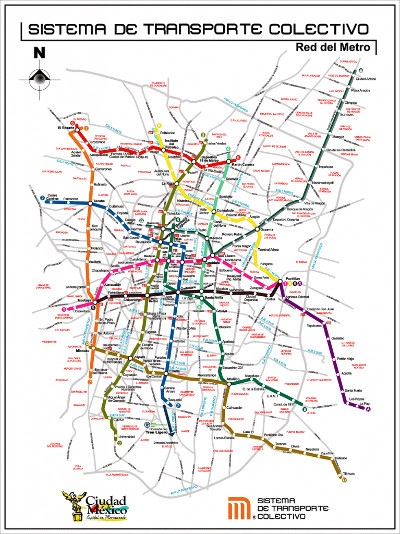
Mexico City, Mexico
The Mexico City Metro or Sistema de Transporte Colectivo (STC) has 12 lines and 195 stations, making it the second largest metro system in North America after the NYC Subway. On its own, the different coloured routes for each line are straightforward, but overlaid onto a city street grid map, it looks chaotic at best. The stations compete with the street names on the official map, which is fine if you can follow the colours, not so good if you can’t.
Make your way around Singapore. Expert's Guide To Getting Around Singapore
Etiquette on the go. How Not To Be 'That' Person On Public Transport While Travelling
Paris, France
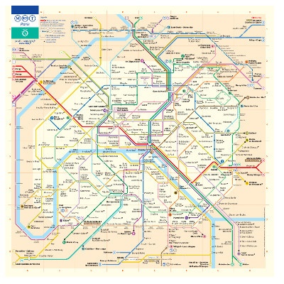
The Paris Métro is the cheapest and most convenient way, aside from walking, to get around the City of Lights. What’s not so easy is navigating the Métro map – note to map designers: if you need a how-to PDF to read the map, you’re doing it wrong! The Métro map is a riot of colours and looping lines with a light beige background to designate Zone 1 and a darker beige for the outer zones. Sixteen lines criss-cross and employ similar shades that require some concentration to follow. Once you have the lines sorted though, it’s a case of colour by numbers.
Stuttgart, Germany
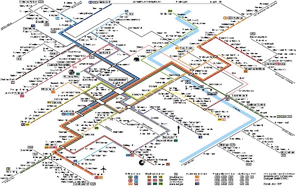
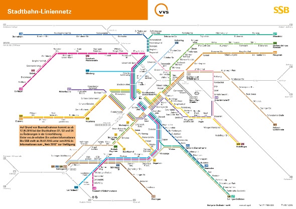
The Eighties are alive in Stuttgart! Despite the great name (Stuttgart Stadtbahn) and reputation as one of the best metro systems in Europe, the S-Bahn public transportation map is resolutely stuck in the ‘80s with its angular design format that wouldn’t be out of place on a retro carpet (ahem, Portland). While easy to read and navigate the seven lines and 77 stations (of which only 30 are underground in the city centre), the circa-2000 graphic design can have the optical effect of seeing lines that aren’t actually there! Thankfully the map has now changed to this:
Visit your local Flight Centre store or call 131 600 for more advice and the latest international flight deals.
mexico city paris stuttgart tokyo transport
